用 matlab 绘制三维等高线地形图的问题运行程序以后的二维标注等高线怎样把等高线间距缩小
我运行程序以后等高线间隔是200,我想把它调整为 100 从而反应更细致些该怎么做
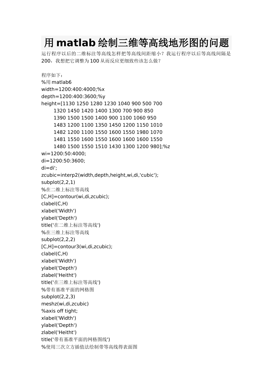
程序如下: %用 matlab6 width=1200:400:4000;%x depth=1200:400:3600;%y height=[1130 1250 1280 1230 1040 900 500 700 1320 1450 1420 1400 1300 700 900 850 1390 1500 1500 1400 900 1100 1060 950 1483 1200 1100 1350 1450 1200 1150 1010 1482 1200 1100 1550 1600 1550 1980 1070 1481 1550 1600 1550 1600 1600 1600 1550 1480 1500 1550 1510 1430 1300 1200 980];%z wi=1200:50:4000; di=1200:50:3600; di=di'; zcubic=interp2(width,depth,height,wi,di,'cubic'); subplot(2,2,1) %在二维上标注等高线 [C,H]=contour(wi,di,zcubic); clabel(C,H) xlabel('Width') ylabel('Depth') title('在二维上标注等高线') %在三维上标注等高线 subplot(2,2,2) [C,H]=contour3(wi,di,zcubic); clabel(C,H) xlabel('Width') ylabel('Depth') zlabel('Heitht') title('在三维上标注等高线') %带有基准平面的网格图 subplo