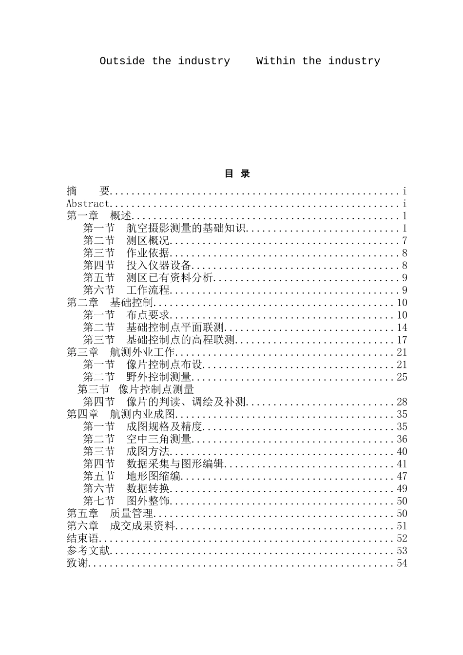
摘 要航空摄影测量【aerial photogrammetry】指的是在飞机上用航摄仪器对地面连续摄取像片,结合地面控制点测量、调绘和立体测绘等步骤,绘制出地形图的作业。本文主要介绍了航空摄影测量一系列的工作流程,并结合洛阳市偃师市高龙镇实际地形所进行航空摄影测量,深化了解作业区概况,掌握已有的相关资料,根据作业依据进行基础控制测量,野外像控点的布设,依据精度要求进行控制测量。进行外业的判读,调绘;像控点判刺之后对像片进行整饰,最后进行内业的成图。关键词:航空摄影测量 基础控制 外业 内业AbstractAerial photography aerial photogrammetry measurement [is] that the aircraft used in aerial equipment on the ground for uptake photograph, with ground control point measurement, for painting and three-dimensional mapping, and other steps to map out topographic map of operations. This paper introduces Photogrammetry a series of work flow, combined with Luoyang city in Yanshi City, the actual terrain of high Longzhen conducted by the aerial photography survey, in-depth understanding of Bin Overview, master has the relevant information, based on work carried out in accordance with the basis of control Measurement, like the wild-point set, based on measurement precision control. Read out to the industry, for painting; thorn-like control points after finishing on a photograph, a final map within the industry.Key words: Aerial photogrammetry The basis of control Outside the industry Within the industry目 录摘 要.....................................................iAbstract.....................................................i第一章 概述.................................................1第一节 航空摄影测量的基础知识............................1第二节 测区概况..........................................7第三节 作业依据..........................................8第四节 投入仪器设备......................................8第五节 测区已有资料分析............................


