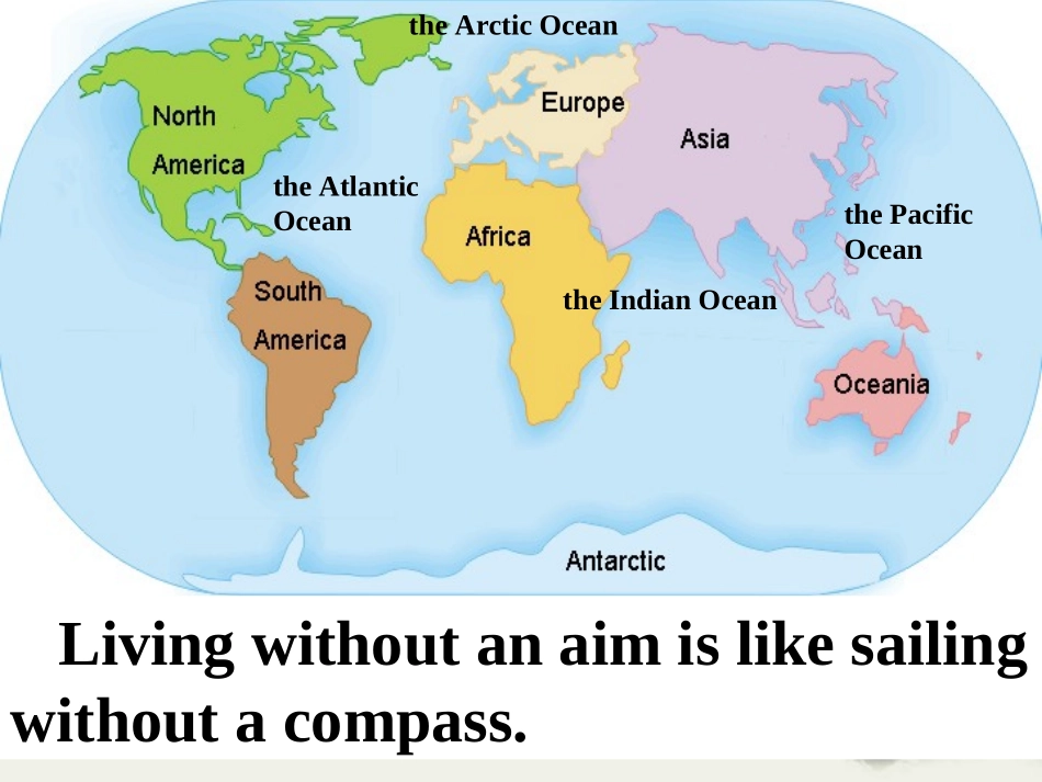
SailingtheOceansSailingtheOceansUnit2theArcticOceantheIndianOceanthePacificOceantheAtlanticOceanLivingwithoutanaimislikesailingwithoutacompass
Explanation1
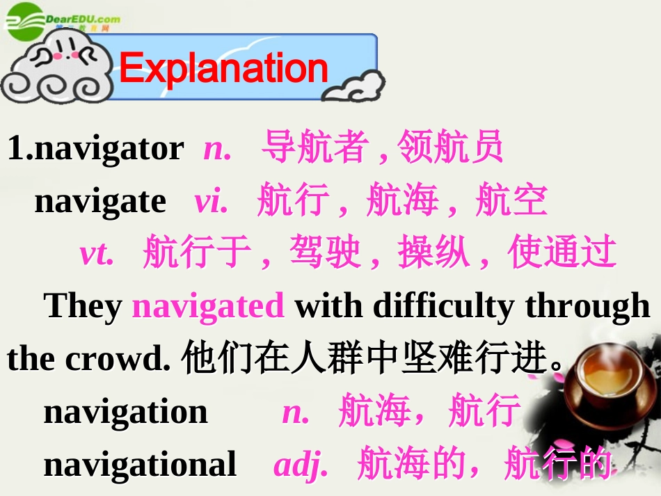
navigatorn
导航者,领航员navigatevi
航行,航海,航空vt
航行于,驾驶,操纵,使通过Theynavigatedwithdifficultythroughthecrowd
他们在人群中坚难行进
navigationn
航海,航行navigationaladj
航海的,航行的1
navigatorn
导航者,领航员navigatevi
航行,航海,航空vt
航行于,驾驶,操纵,使通过Theynavigatedwithdifficultythroughthecrowd
他们在人群中坚难行进
navigationn
航海,航行navigationaladj
航海的,航行的Whatisthedifferencebetweenanavigatorandanexplorer
Whatisthedifferencebetweenanavigatorandanexplorer
NavigatorseanauticalinstrumentsfindnewislandsorcontinentsNavigatorissomebodywhofindsthepositionandplotsthecourseofashipusingmapsandinstruments
ExplorerlanduseofcompassandlandmarksfindnewplaceswithinanalreadyidentifiedislandorcontinentExplorerissome