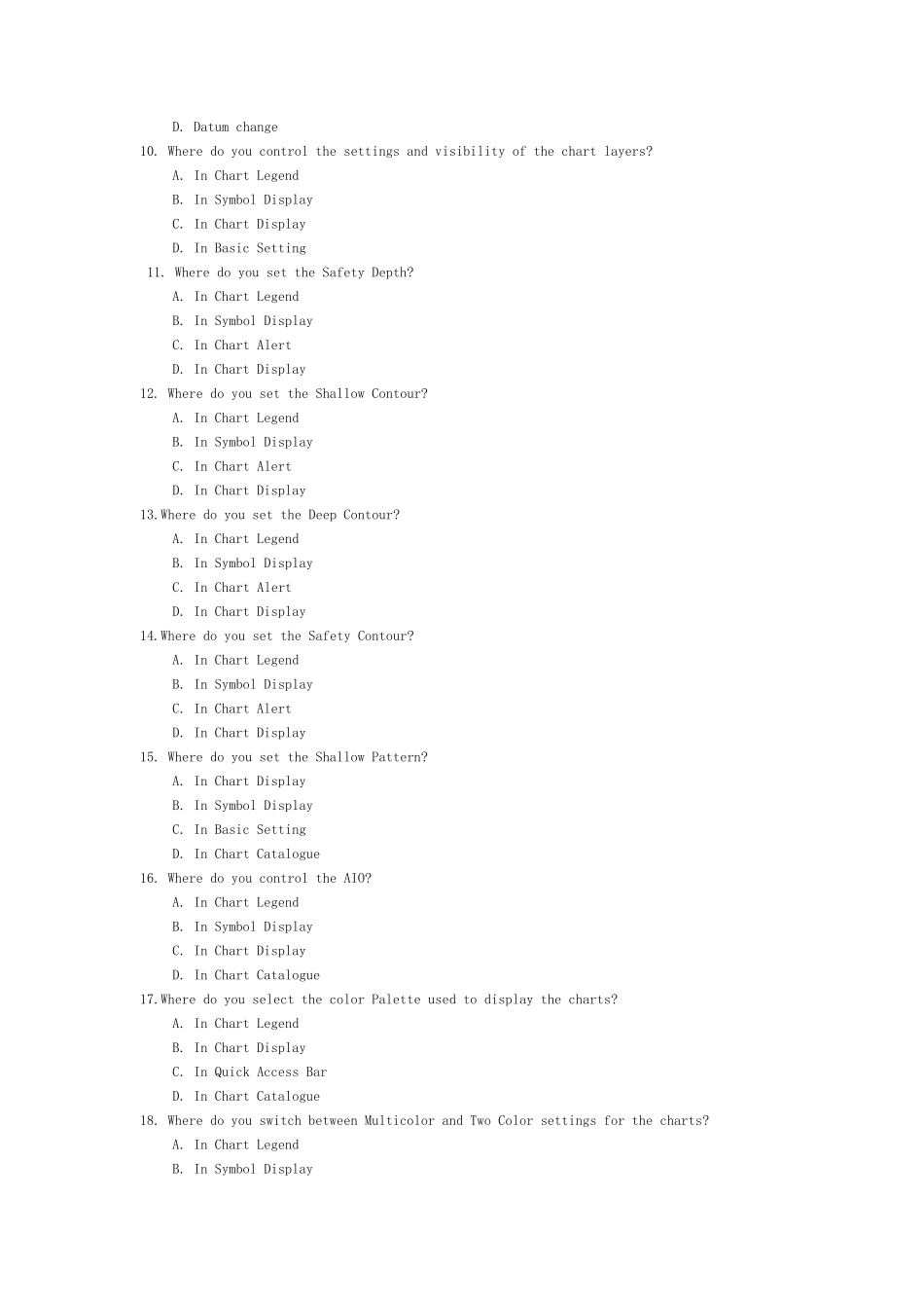
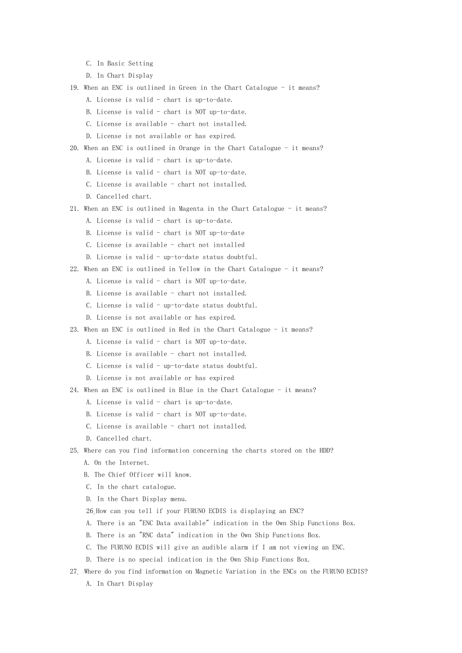
1.What does the alert number 820 indicate? A. AIS lost B. TT lost C. Navtex message received D. Cross track alarm 2. What does the alert number 450 indicate? A. Route: Illegal To WPT B. RADAR comm. Error C. LAN adapter version error D. Heading sensor not available 3. What does the alert number 495 indicate? A. Anchor watch error B. Track control stopped C. Steering parameter error D. Filter: Init. 4. What does the alert number 380 indicate? A. Route: File read error B. User chart: File not found C. AIS COM error D. User chart: File read error 5. What does the alert number 635 indicate? A. No official data B. Log error C. Dual axis log (WT) error D. Dual axis log (BT) error 6. What does the alert number 640 indicate? A. Datum mismatch B. Chart align: Over 30 min. C. RADAR antenna ID error D. Gyro error (Trackpilot) 7. What does the alert number 031 indicate? A. Sensor adapter 1 COM timeout B. Sensor adapter 2 COM timeout C. Sensor adapter 3 COM timeout D. Sensor adapter 4 COM timeout 8. What does the alert number 257 indicate? A. Heading sensor not available B. Prg track: Need higher speed C. Prg track: Use radius Ctrl D. Gyro 3 COM error 9. What does the alert number 470 indicate? A. WGS 84 not used B. Different geodetic datum C. Sentence syntax error D. Datum change 10. Where do you control the settings and visibility of the chart layers? A. In Chart Legend B. In Symbol Display C. In Chart Display D. In Basic Setting 11. Where do you set the Safety Depth? A. In Chart Legend B. In Symbol Display C. In Chart Alert D. In Chart Display 12. Where do you set the Shallow Contour? A. In Chart Legend B. In Symbol Display C. In Chart Alert D. In Chart Display 13...


